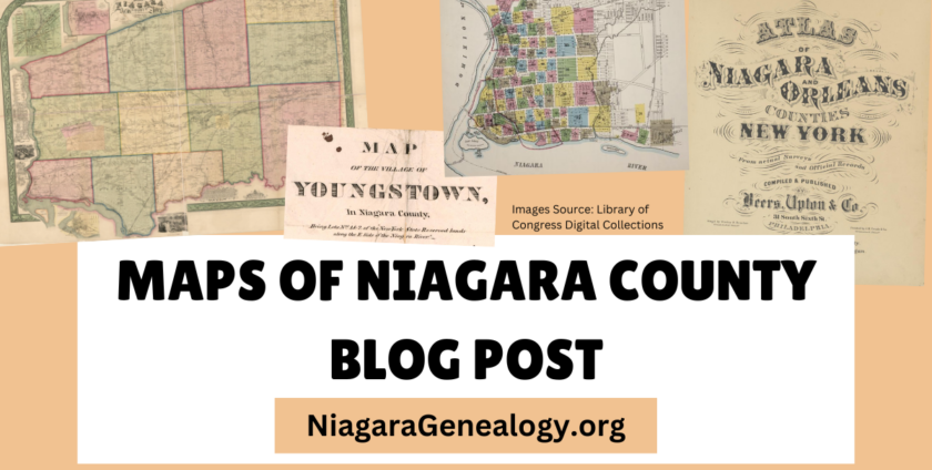
The Library of Congress has been digitizing and publishing many maps online for free. One of those maps was drawn by Bernard Callan in 1851. This map was drawn before Lockport incorporated as a city in 1865, though it was still the county seat beginning in 1821 (when Erie County broke off from Niagara County).

This type of map (cadastral) shows details of boundaries and real estate owners names. I love that it even includes the shapes of the buildings and houses within the lots! Here is an up closer screenshot:

To view, zoom in, and download the map, click this link: https://www.loc.gov/item/2010593267/.
TAGS :
Lockport Maps Niagara County