The Library of Congress has been digitizing and publishing many maps online for free. One of those maps was drawn by Tobias Witmer in 1854.
The Town of Niagara was first called Schlosser and was formed from the Town of Cambria in 1812. The name was changed to the Town of Niagara in 1816. Daughter towns broke off first with Pendleton in 1827 and then Wheatfield in 1836. The Village of Niagara City incorporated in 1854 – the same year that this map was published.

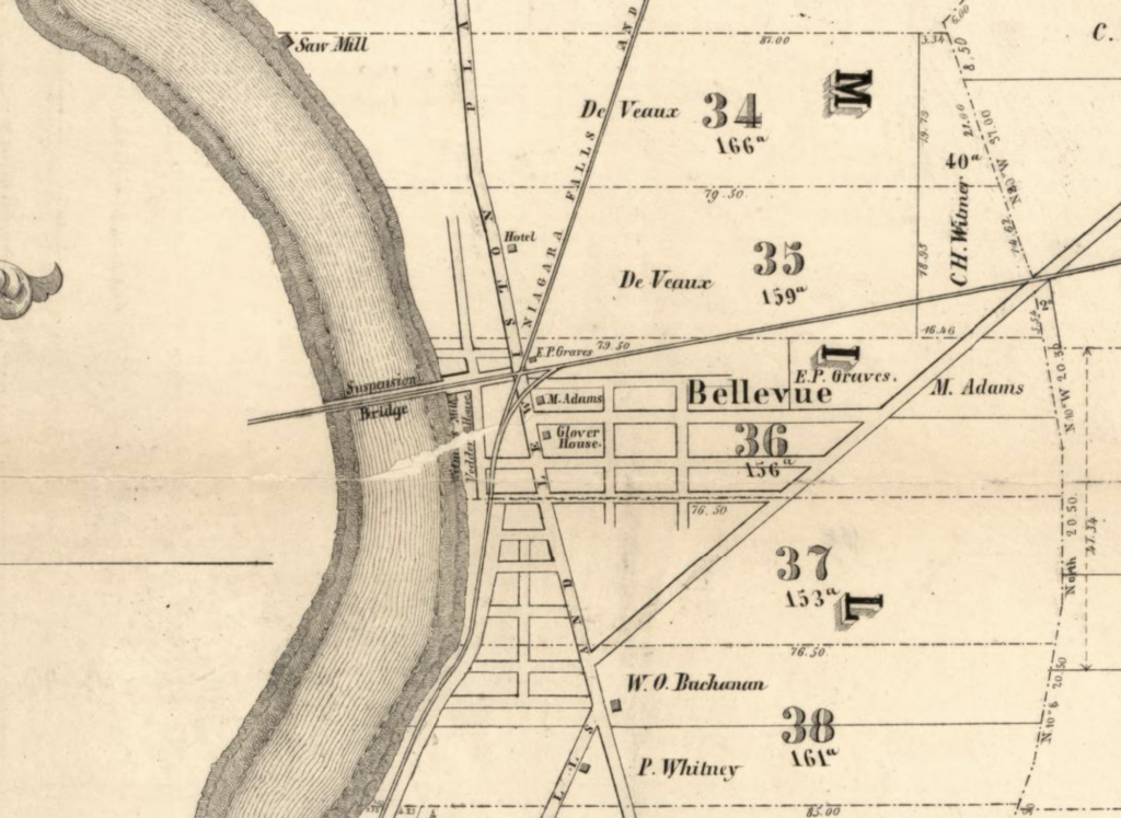
What is especially neat out this type of map (a cadastral map) is that it shows the lot owners names in addition to some local businesses. Here is an up closer screenshot:
To view, zoom in, and download the map, click this link: https://www.loc.gov/item/2013593243/.
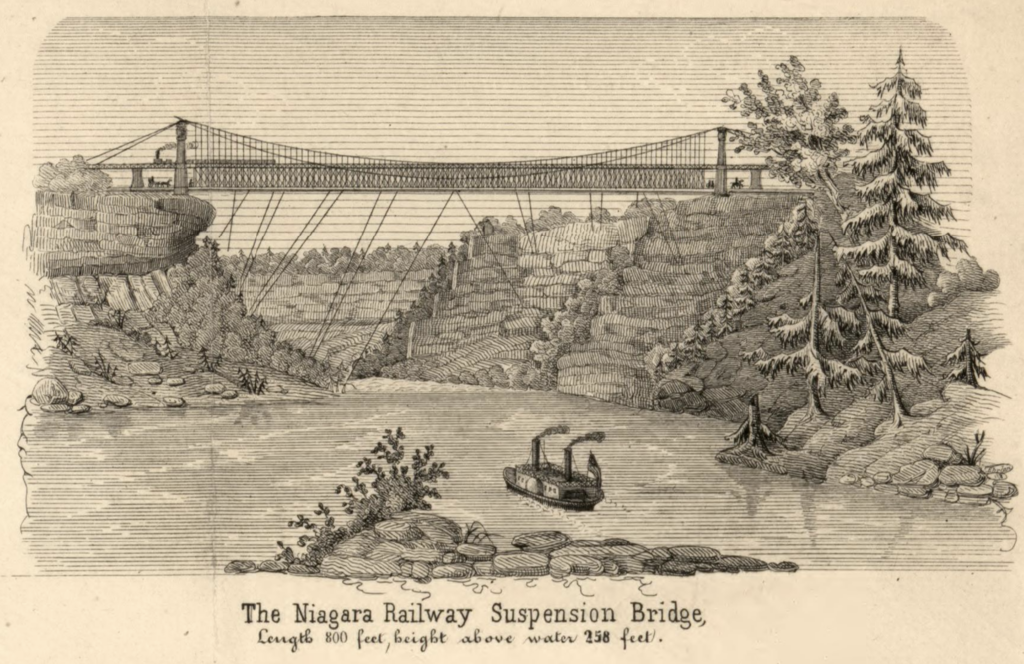
I love how detailed the drawings are along the top. Here is the drawing of the Suspension Bridge. They are works of art!